






Hiking tour
Bergkastel via Taschaloch
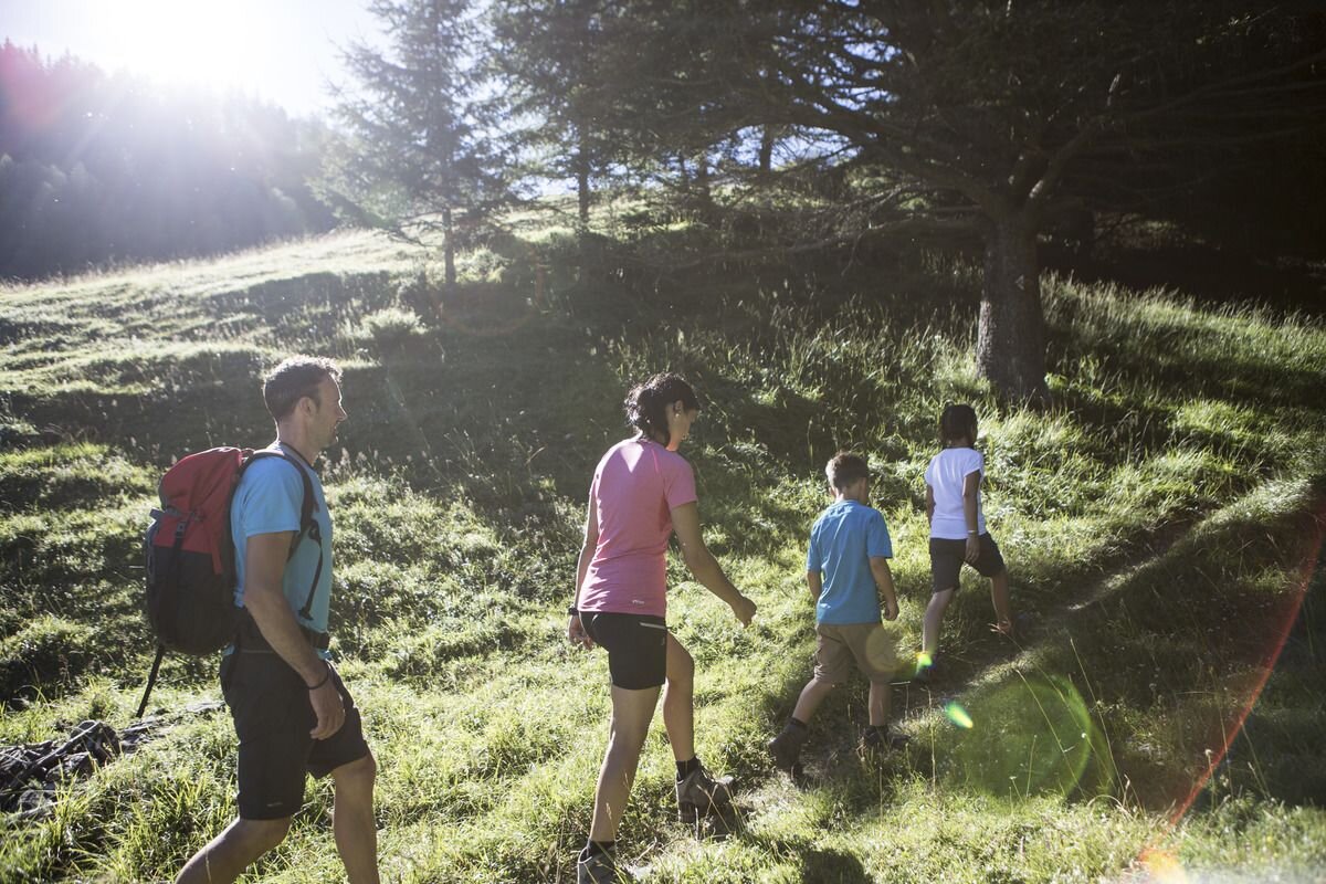

The route goes along the Hiking trail no. 19 in the direction of the Holy Tree and shortly afterwards
to the right to the so-called “Stierhaag”. Trail no. 20 begins on the right-hand side and,
after crossing the Piengbach, leads across meadows and through forests towards Bergkastel.
It continues along the
Ganderbildbach through the narrow “Taschaloch”. You cross the forest path leading to the Jochelius
mountain resort, Piengalm or Stieralm. At the beginning the path is very steep, it is
somewhat flatter above the tree line. It leads to the foot of the Gande, where the Ganderbildbach
stream springs from several sources. To the west of it are the Bergkastel pastures and the
mountain station. The restaurant invites you to have some refreshments. To get back to the
village you can either take the cable car or walk over the Stieralm and the Almwanderweg (No.
34). The route can also be followed in the reverse direction.
to the right to the so-called “Stierhaag”. Trail no. 20 begins on the right-hand side and,
after crossing the Piengbach, leads across meadows and through forests towards Bergkastel.
It continues along the
Ganderbildbach through the narrow “Taschaloch”. You cross the forest path leading to the Jochelius
mountain resort, Piengalm or Stieralm. At the beginning the path is very steep, it is
somewhat flatter above the tree line. It leads to the foot of the Gande, where the Ganderbildbach
stream springs from several sources. To the west of it are the Bergkastel pastures and the
mountain station. The restaurant invites you to have some refreshments. To get back to the
village you can either take the cable car or walk over the Stieralm and the Almwanderweg (No.
34). The route can also be followed in the reverse direction.
804m
6.7km
Start point
Nauders Zentrum
End point
Bergstation Bergkastelseilbahn


