


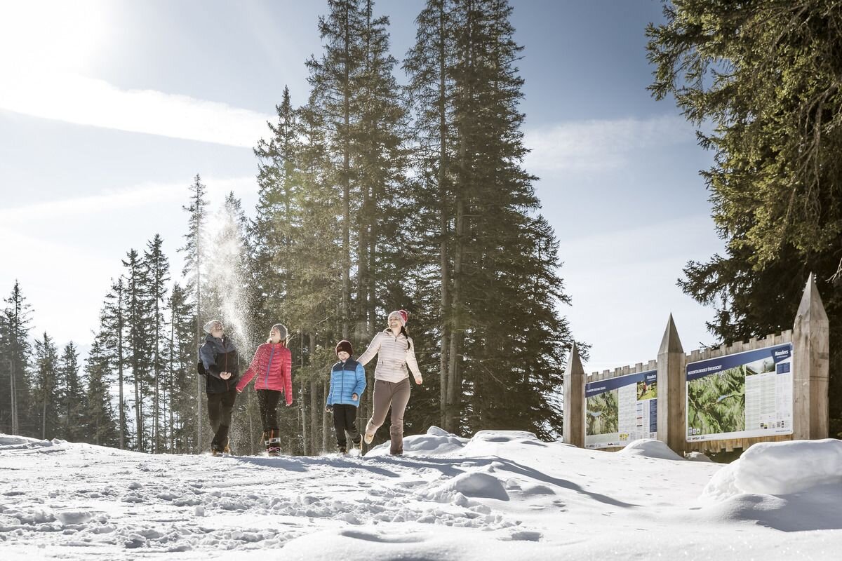
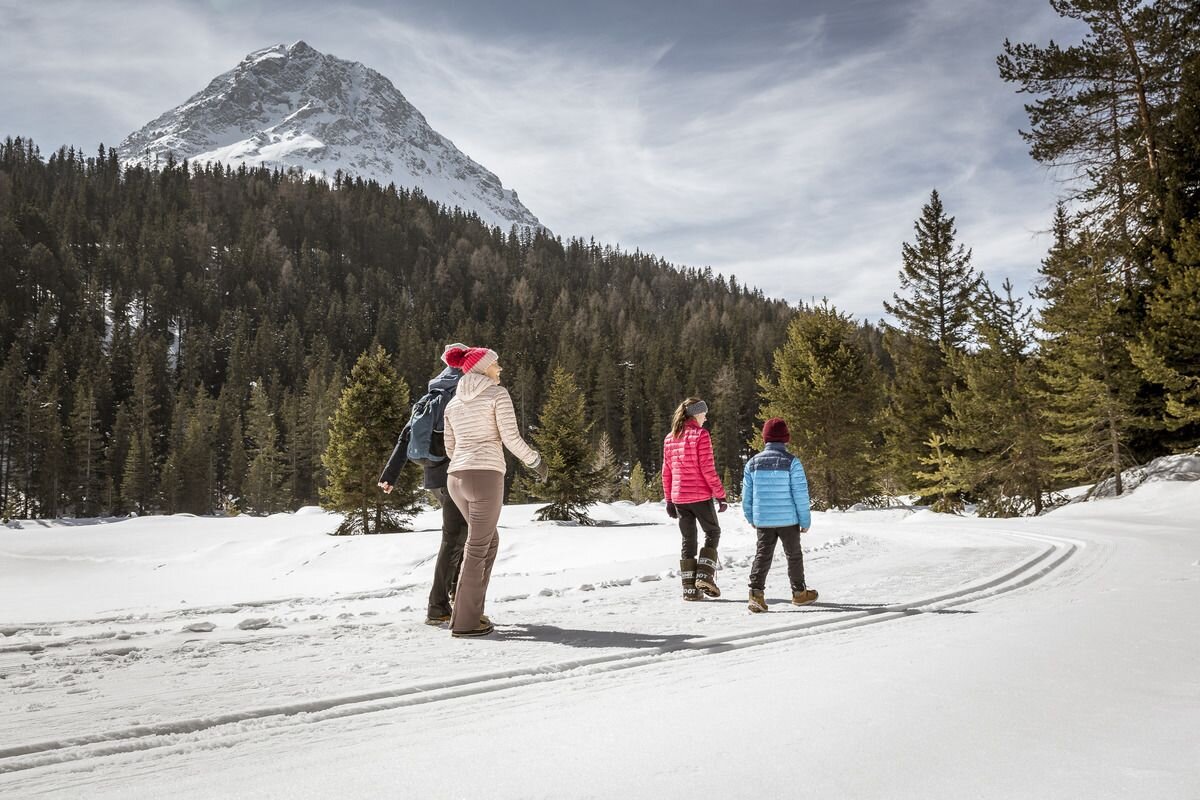
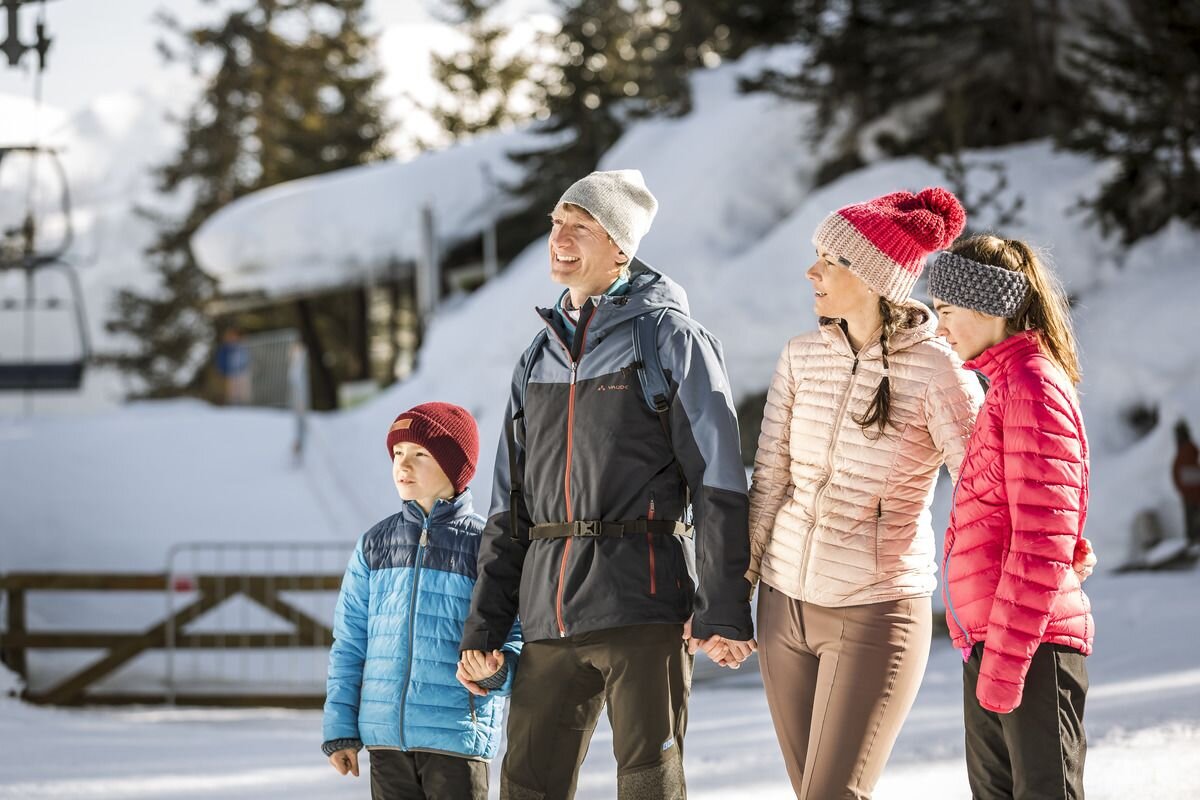
Winter walking
Laketour


Start at the Mutzkopf mountain station, follow the groomed winter hiking trail and always follow the signs to Schwarz-/ Grün See.
The trail leads once around the Mutzkopf, after 700 metres turn left to the Mutzkopf mountain restaurant (only open in summer). From there, follow the groomed trail in the direction of Schwarzer See and Grüner See. After approx. 1 km you reach a crossroads. From there, continue in the direction of Schwarzer See and Grüner See. Once you reach the Schwarzer See lake, you can either follow the signs to Nauders/ Gasthof Riatsch or the signs to the Grüner See lake. After approx. 1 km you come to a crossroads. Head towards the valley to Gasthof Riatsch or Nauders. You can follow the signs uphill in the direction of Grüner See. The same path leads back from Grüner See.
Length via Grüner See: 10.6 KM (walking time approx. 6 h)
Length via Schwarzer See: 7.6 KM (walking time approx. 3 hours)
3.5:0h
255m
10.5km
Highest point
1846m
Start point
Bergstation Mutzkopf
End point
Talstation Mutzkopf / Dorf


