


Hiking tour | Nature watch route
Anton-Renk-Hütte - Panoramasteig - Stalanzer Alm


A hike from Ried to Fendels to the Anton Renk hut via the new panorama trail to the Stalanzer Alm is a unique experience for all nature lovers and mountain enthusiasts. The tour starts at the valley station of the Ried - Fendels cable car. The gondola lift takes you to Fendels and the subsequent chairlift takes you to the starting point "Sattelboden".
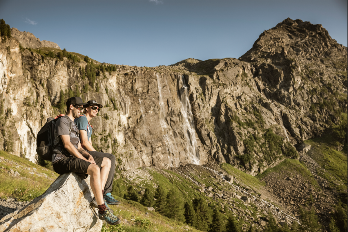
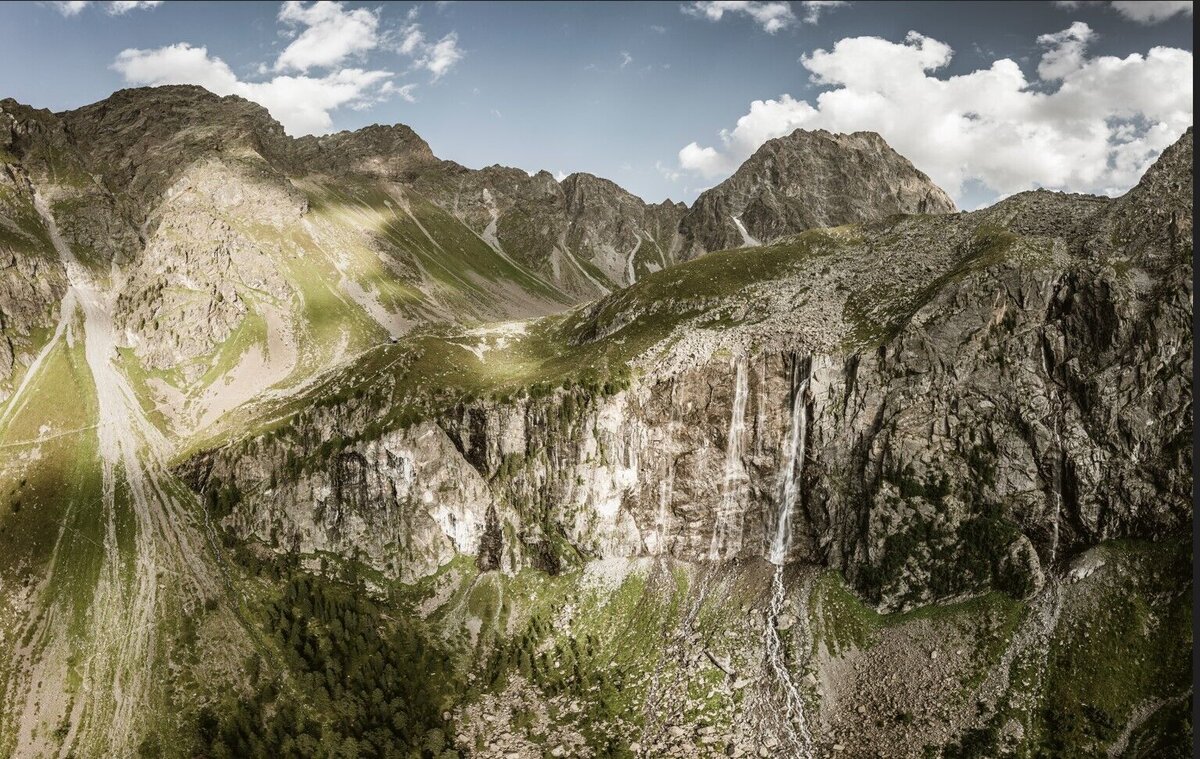
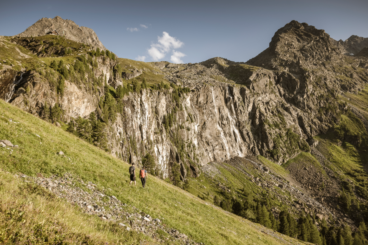
From there, a hiking trail leads to the Fendler Alm and on via the Zirmesköpfle to the well-known Anton Renk Hut. From there, continue downhill towards the Stalanzer Alm, where you then have the option of turning left and taking the new panoramic trail directly below the Anton Renk waterfall. Alternatively, you can opt for the Anton Renk trail. The panoramic trail takes you directly below the waterfall, where you will feel the power of the mighty masses of water up close.
The destination is the managed Stalanzer Alm (mid-June - mid-September), which invites you to stop for a bite to eat afterwards. The hike takes around four hours and requires a good level of fitness and surefootedness. The landscape is varied and offers great views of the surrounding mountains.
Every Thursday you can order our chargeable hiking pick-up bus from the Spielebene (below the Stalanzer Alm) by 4.30 pm the day before at the latest. (Tickets can then be purchased at the information offices). This bus will take you back to the starting point in Ried. You can also order the hiking taxi daily by dialling +43 5472 2616.
tour1
5:0h
457m
10km
Highest point
2266m
Start point
Ried Seilbahn
End point
Stalanzer Alm


