


Kaunerberg Waterway

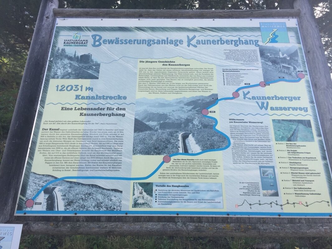
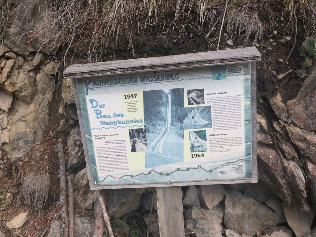
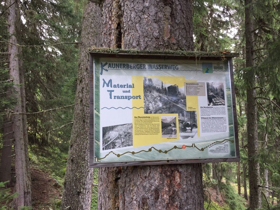
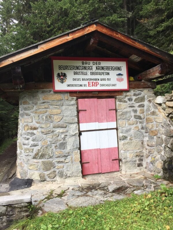


With an average annual rainfall of just over 600 mm, the Kaunerberghang is one of the driest regions in Austria. To enable farmers to achieve the necessary crop yields, work began in 1947 on the construction of the Kaunerberghang irrigation system as part of the European reconstruction effort. The construction was funded by the ‘European Recovery Programme’, better known as the Marshall Plan. In 1954, the route – stretching over 12 km from the Gallruthbach to the River Inn – was completed. The themed trail, which has been created along part of the route, describes the complex construction of this unique project.
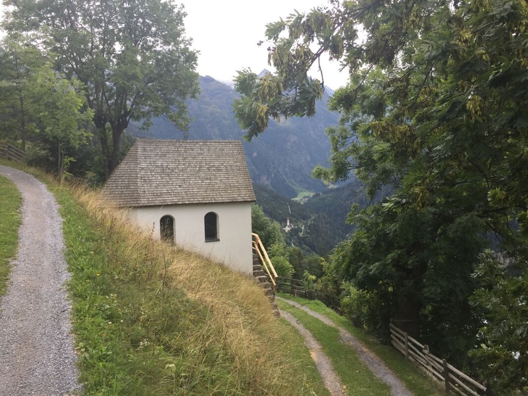
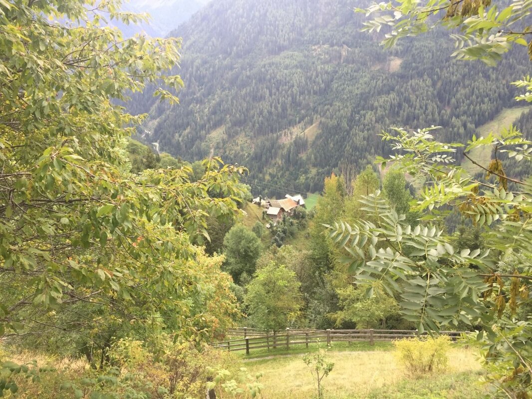
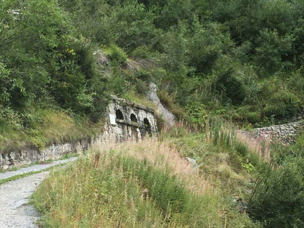
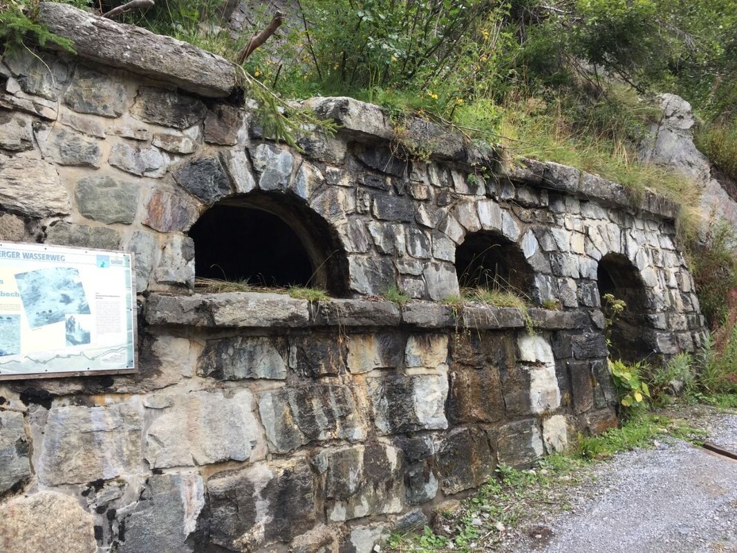
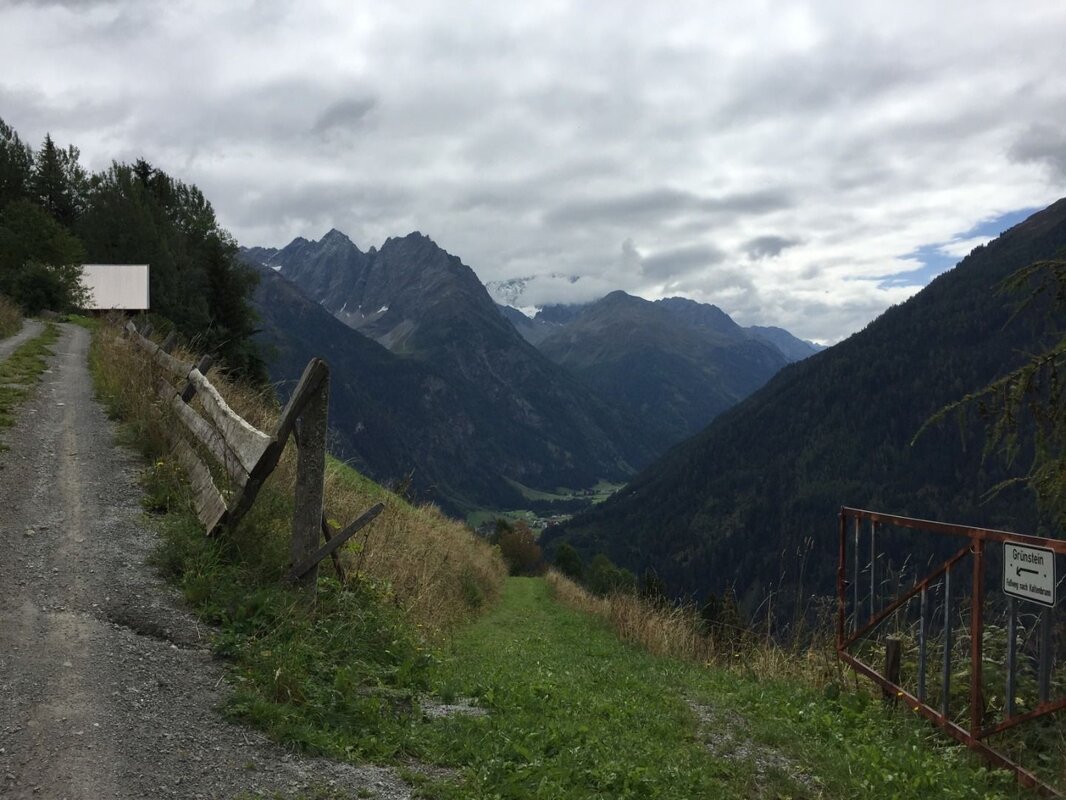
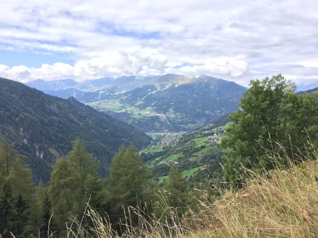
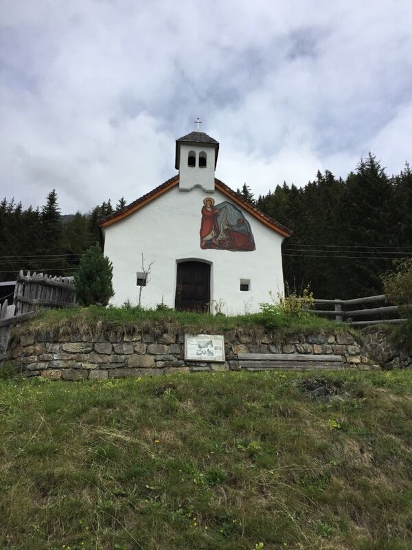
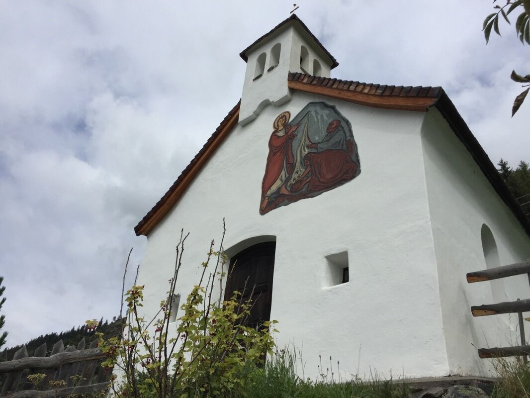
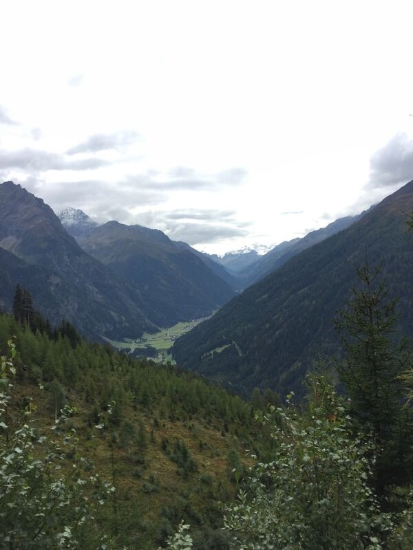
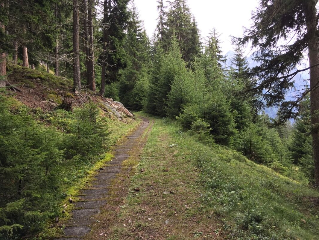
The starting point of the walk is the Kaunerberg village hall. From here, follow the signposts uphill for a short while and turn right at the first junction. Shortly afterwards, the Wasserweg branches off to the left from the road and continues along a meadow path that leads into a footpath. After the Mühlbachstollen, the footpath joins the forest road leading to Unterfalpetan. Passing the last farmstead in Falpetan that is still inhabited all year round, you continue straight along the forest road, heading towards ‘Wiesenhof, Falkaunsalm’. On the way, you pass the Tosbecken on the Engelsbach and soon reach the fountain in the hamlet of Oberfalpetan. The beautifully situated bench by the chapel further up invites you to take a break and enjoy the view of the Kaunertal to the south and the villages of Kaunerberg, Kauns, Prutz and Ladis to the west.
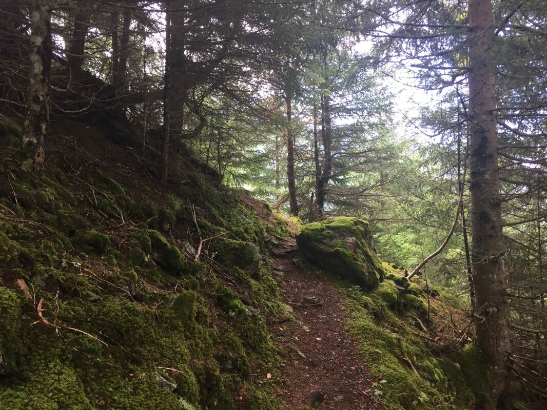
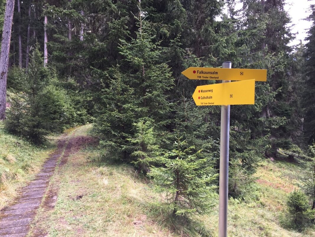
At the Oberfalpetan junction (1,630 m above sea level), stay on the Wasserweg, signposted to the left, and shortly afterwards turn right onto a footpath. On this very scenic stretch of the route, you’ll come across the turn-off to the Falkauns Alm in the forest. Later on during the descent, you’ll rejoin the Wasserweg at this point. From here, follow the signposts for the Wasserweg and you will soon reach the forest road and a lovely clearing, the Hahntennen, at 1,870 m above sea level.
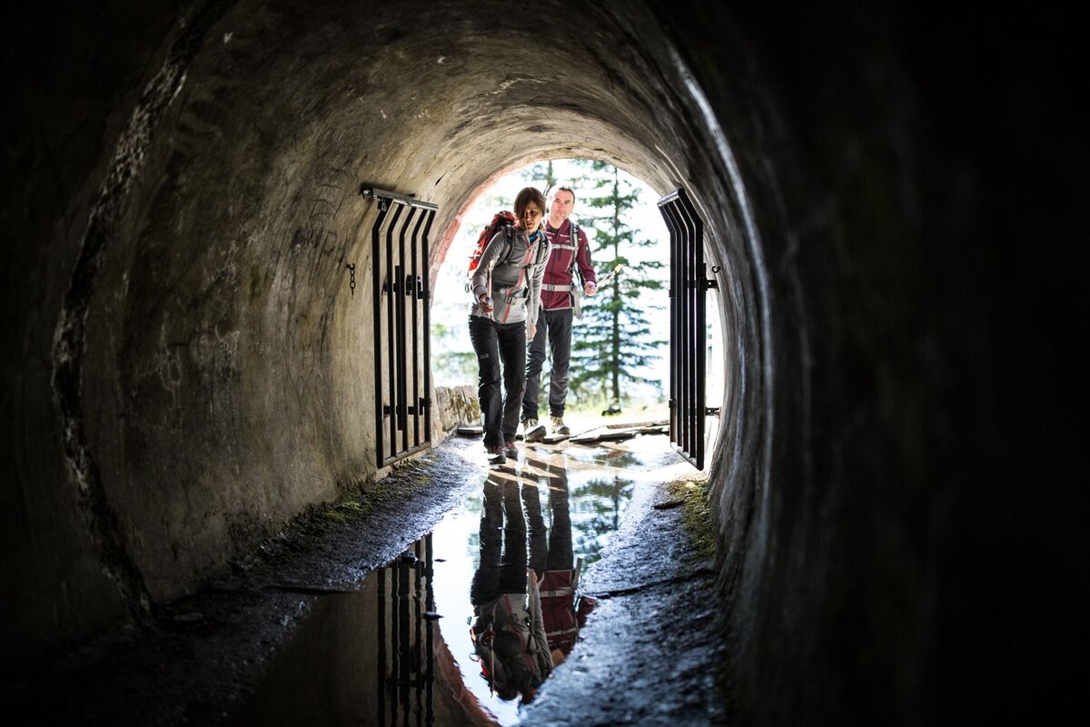
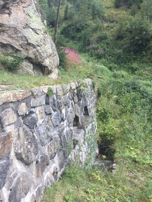
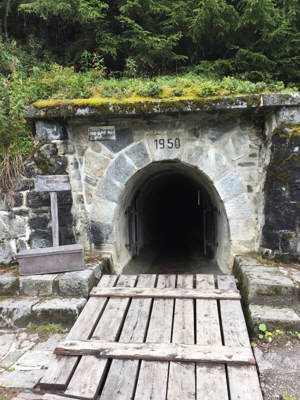
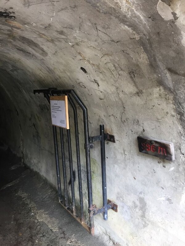
From the Hahntennen, a short but particularly scenic stretch through the woods leads to the entrance of the 996 m long Gallruthstollen. For the exciting walk through the tunnel, it is essential to carry a good torch or other light source! Shortly before the end of the tunnel, you’ll come to a water basin and the tunnel’s only window. This is situated on steep terrain and is not an exit! Continue along the tunnel for a short distance and you’ll soon reach the end.
Back in daylight, you walk gently uphill along the final stretch of the Hang Canal and reach the Gallruthbach reservoir at around 1,920 m. One last, short climb and you can enjoy a lovely rest at the Gallruth Alm, which is open in summer.
Setting off from the Gallruth Alm, follow the marked path towards the Falkauns Alm. After a short, steep section of the path, which is secured with handrails, the walk continues along a pleasantly laid-out trail. Accompanied by a consistently magnificent panorama, the path winds its way through stands of Swiss stone pine and larch near the tree line, crosses alpine pastures and finally reaches the Alm.
From the Falkauns Alm, follow the path towards Kaunerberg, heading downhill through the middle of the pasture to the wayside shrine. Further down in the forest, you’ll rejoin the Wasserweg at the junction mentioned above. Now follow the familiar path back to Falpetan and continue downhill to the starting point at the town hall in Kaunerberg.


